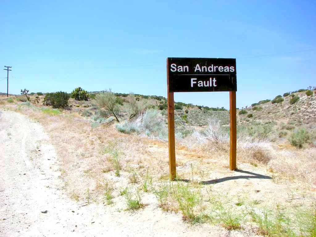
The volatile seismic zone along the roughly 750-mile (1,200-km) San Andreas Fault and the smaller San Jacinto Fault are now "critically stressed" – reaching a 1,000-year high level of pressure – increasing the likelihood of a big earthquake hitting the US West Coast.
Using physics-based modeling and 1,000 years of earthquake data, Earth scientists at the University of Hawaiʻi at Mānoa demonstrated how the build-up of stress throughout these two fault systems and at the juncture of the Cajon Pass is at an all-time high.
“Our results show that stress levels on multiple fault segments are now at or above the highest values seen in the past millennium and that the region may be capable of a large through-going rupture involving both fault systems,” says lead author Liliane Burkhard, research affiliate in the Hawaiʻi Institute of Geophysics and Planetology.
“We also found that Cajon Pass may act as an ‘earthquake gate’: sometimes blocking large ruptures from crossing between the faults, and sometimes allowing them to pass through and involve both systems in a single event," she adds.
This "earthquake gate" can function as a pressure valve, when one fault is significantly more stressed than the other, for example. But when both faults are at the same or similar elevated levels of stress, this is a problem.
“The conditions that determine whether the ‘earthquake gate’ at Cajon Pass opens or stays closed appear to be related to how closely the stress levels on the two fault systems are aligned with each other at the time of rupture,” Burkhard explains. “Right now, with stress at historically high levels across the region and more than 160 years elapsed since the last major rupture, the system is in a critically loaded state.”
The modeling found that since the pressure gauge hasn't seen any meaningful release in these 160 years, the Cajon Pass gate could now trigger a joint rupture along both faults at once, putting densely populated areas such as Los Angeles and San Bernardino at high risk of damage from a big quake.
Tectonic plates are constantly in motion, and along the San Andreas fault, this movement is at a rate of 1-2 inches per year. But when the plates get "stuck" along the edges where they grind together and shift, it causes a buildup of pressure along the contact points. Then, the sudden movement – or slip – as pressure forces plates past where they've become stuck, it releases a huge amount of energy that escapes upward to the Earth's surface.
This is, of course, what we then feel in an earthquake.
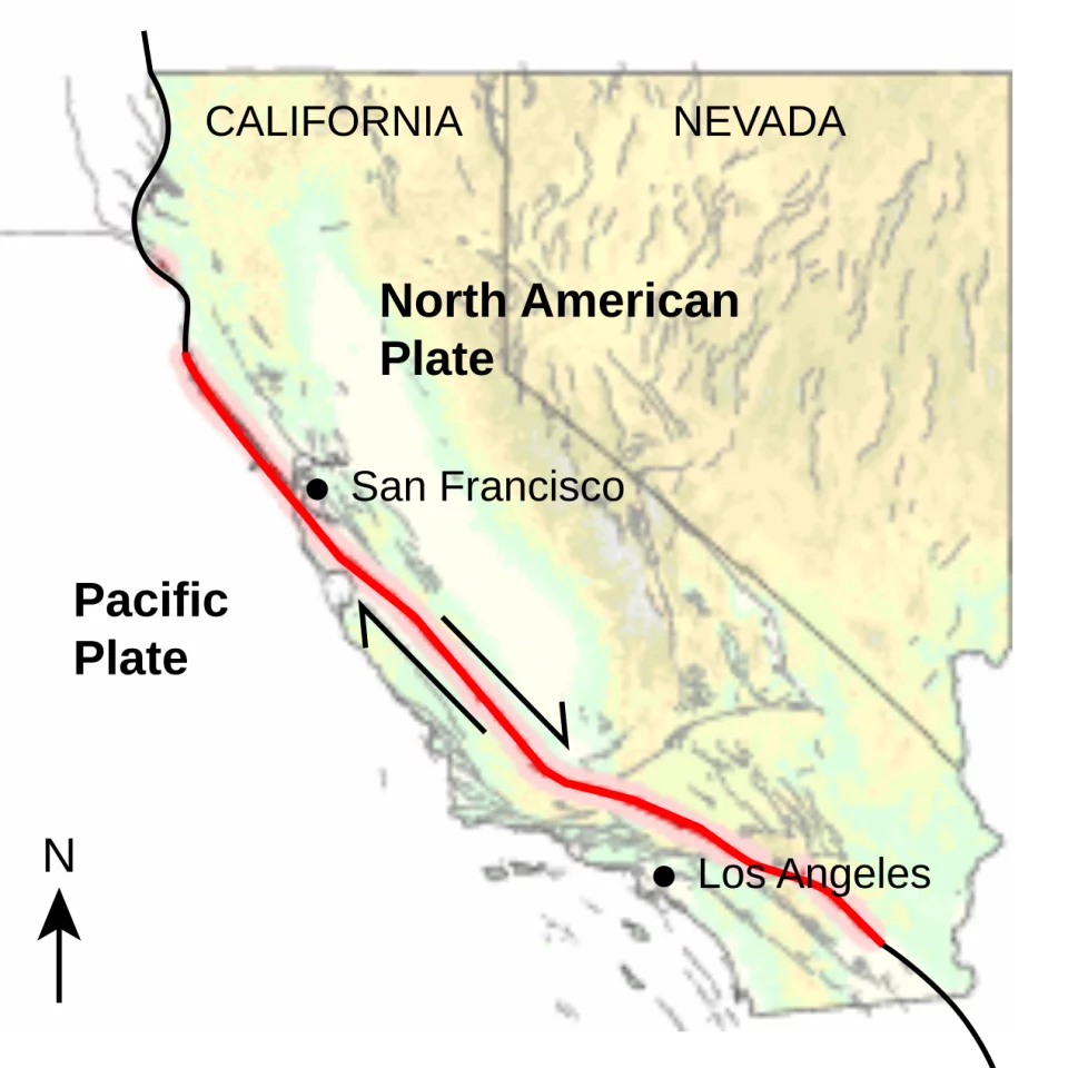
In California, where the Pacific and North American plates meet, is the San Andreas Fault, some 10 miles (16 km) below the surface. Smaller faults branch off or join the San Andreas Fault, including the San Jacinto Fault in Southern California.
While some points of contact between plates experience constant "creep" – which result in frequent, tiny shocks and occasional slightly larger ones – these junctures don't experience the same kind of pressure buildup from clashing and getting stuck. These areas – such as at certain points along the Milun Fault Zone (MFZ) that stretches along eastern Taiwan – make regular tremors common.
This friction between the Eurasian and Philippine Sea plates along the Milun Fault results in hundreds of quakes a year felt by residents of Hualien County above. However, a majority are between Magnitude 3.0 and 5.0, with larger ones less common.
Living on the northeast coast of Taiwan, some 100 miles (177 km) north of Hualien, the amount of noticeable tremors drops to around 50 a year. And while I don't think I'll ever get used to them, this frequent pressure release ultimately makes a large "mega earthquake" far less likely.
But where pressure has accumulated for as long as it has along sections of the San Andreas Fault, the chance of this kind of event becomes increasingly higher.
In 1857, the southern stretch of the San Andreas fault ruptured, resulting in the Fort Tejon earthquake, one of the largest in the state's history. Fast-forward nearly 160 years and scientists are now in agreement that "the big one" is not a case of "if" but "when".
In this study, the researchers are quick to point out that while they can't predict when such a quake will occur, computer models are an essential tool in risk assessment and disaster management.
“This is not a prediction of when an earthquake will happen,” Burkhard says. “However, studies like this are important contributions to national and global earthquake hazard research in that we are using rigorous, quantitative science to better understand the risk facing millions of people.
"What we can say is that the system is critically stressed, and that physics-based models like this one give us a clearer picture of the range of scenarios we should be prepared for," she adds. "That information matters for hazard assessments, infrastructure planning, and emergency preparedness.”
The study was published in the Journal of Geophysical Research: Solid Earth.
Source: University of Hawaiʻi
Fact-checked by XXX