LIDAR
-
 Researchers have created a device that uses photonic radar to remotely and accurately monitor breathing, even distinguishing between more than one patient. The device might one day be used in hospitals, aged care facilities, prisons, and at home.
 -
 A landmark study is reporting the discovery of nearly 500 ancient monuments in Mexico using airborne laser mapping. The newly discovered sites are thought to date back at least 2,500 years, in between the Olmec and Maya civilizations.
 -
 Decades ago, Arthur C. Clarke envisioned an "underwater telescope" that would allow users to look down from the surface of the ocean, into its inky depths. Well, such a capability has come a step closer to reality, utilizing existing technology.
 -
 Archaeologists have used laser technology to map a 100-km (62-mile) Maya stone road that could have been built 1,300 years ago to help with the invasion of an isolated city in modern-day Mexico at the command of the warrior queen Lady K’awiil Ajaw.
 -
 Taking inspiration from the traditional cane, a team of researchers has come up with a LiDAR-enabled robotic assistant which offers light-touch support for the mobility-impaired. Dubbed Canine, the device improves the user's spacial self-awareness, and thus, their walking stability.
 -
 The ruins of a gigantic Mayan city have been discovered under the blanket of the Guatemalan jungle, by bouncing lasers through the trees to reveal thousands of previously-unknown structures in a process the research team calls "digital deforestation."
 -
 The mesosphere is the layer of our atmosphere that separates us from the cold, dark vacuum of space. Yet, according to NASA, it is little understood. The space agency plans to fix that with the world's first space-based LiDAR system designed to make sodium particles glow.
 -
 A new instrument developed by NASA could function as “a rover’s sense of smell” to aid the search for alien life. Using lidar, a light-based system like radar, the instrument can detect organic particles that indicate living organisms, and even determine how recently that life may have been present.
 -
 When an organization sets out to map the sea floor, it will typically use a device known as a bathymetric lidar. A team at Georgia Tech has now developed a cost-effective new system that they claim could lead to much smaller, more efficient bathymetric lidars, capable of being carried by a UAV.
 -
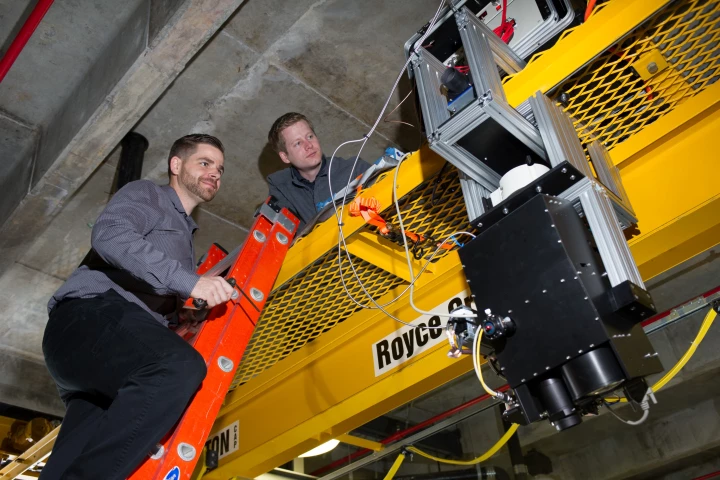
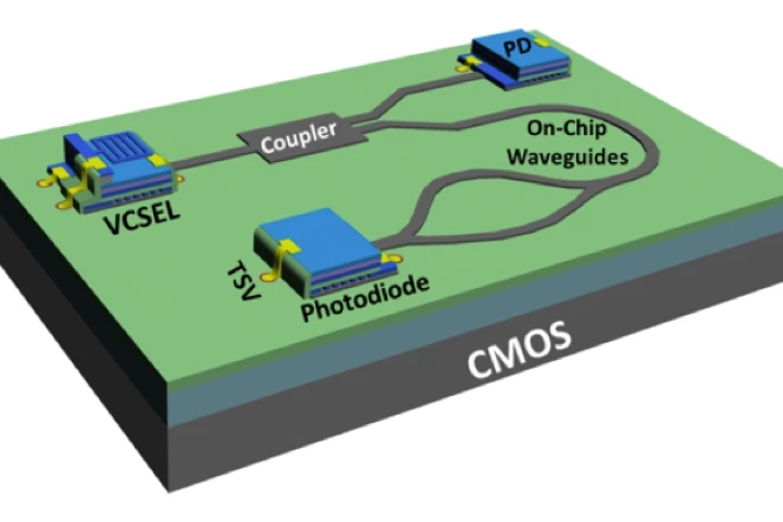 Researchers at the University of California, Berkeley, have developed a Lidar (light radar) system that can remotely sense objects across distances as long as 30 feet (10 m), which could have widespread benefits in fields as diverse as entertainment, transportation, robotics, and mobile phones.
 -
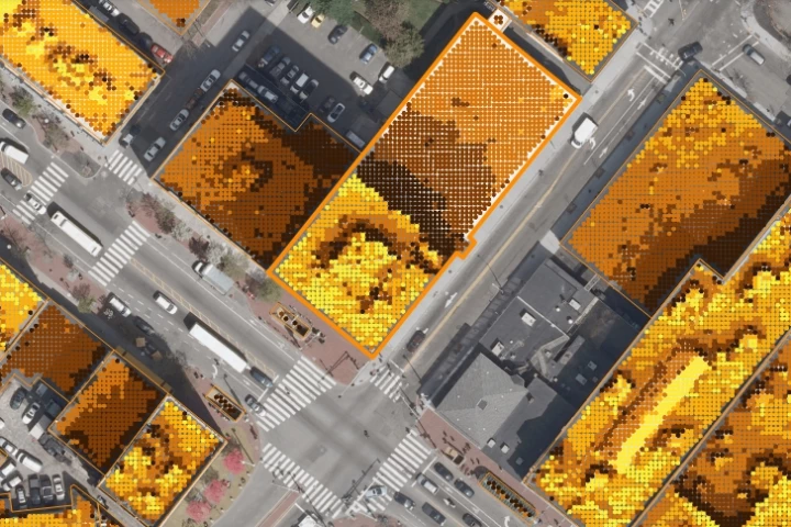 With the help of LiDAR data, MIT researchers have charted the most accurate and user-friendly solar map yet.